
Key Takeaways
- Google, in an attempt to be innovative, inadvertently launched a feature making it ridiculously simple to spoof satellite imagery.
- Security researchers, quick as a flash, uncovered how easily bad actors could manipulate global mapping data.
- It’s a massive, glaring spotlight on the critical need for robust verification in an age of generative AI and deepfakes.
- Thankfully, Google slammed the brakes on it pretty darn fast, but the implications? They’re sticking around like gum on your shoe.
The Story
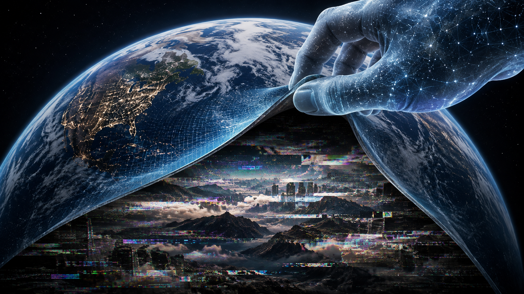
Okay, so picture this: You’re sipping your morning brew, scrolling through the tech news, and then BAM! You see a headline that makes you spit your coffee out. Google, the company that basically maps the entire freaking planet, reportedly made it possible for anyone with a browser and a mischievous streak to upload fake structures onto satellite imagery. Not kinda fake. Really, convincingly fake.
For starters, let’s just get this out of the way: It wasn’t some grand, malicious plot by Google. Far from it, I’d bet my last dollar. They were likely playing around with some cutting-edge AI, a new developer API, or a whiz-bang visualization tool designed to do something cool, something innovative, something… well, something Google-y. But here’s the kicker: someone, somewhere, didn’t quite think through the “what if” scenarios. Not thoroughly enough, anyway.
The details are still a bit fuzzy around the edges, as these things always are when a tech giant has to do an emergency cleanup. But from what we’re hearing, for a brief, terrifying window—let’s call it “24 hours of potential pandemonium”—a specific feature or API allowed users to overlay incredibly realistic, AI-generated, or even custom-uploaded images onto existing satellite maps. Think about it. You could’ve theoretically added a secret military base in your backyard, a giant rubber ducky floating in the Pacific, or even a brand-new, entirely fictional city block somewhere in Siberia. All appearing totally legitimate to the untrained eye, or even a slightly trained one.
The “How Did This Happen?!” Factor
To be fair, tech companies move fast. They iterate. They push boundaries. Sometimes, in that mad dash for innovation, a tiny crack appears. This wasn’t a crack; it was a gaping maw. It seems like the verification layers, the checks and balances that should scream “HOLD UP! THAT’S NOT REAL!”, simply weren’t robust enough for this particular tool’s capabilities. Or maybe they just weren’t there at all. It’s like building a high-security vault but forgetting to put a door on it. Whoops!
A couple of sharp-eyed security researchers, bless their digital hearts, apparently stumbled upon this gaping vulnerability. Instead of doing what some less ethical folks might do, they blew the whistle. Loudly. Google, to their credit, didn’t dither. They locked it down. They pulled the plug. They probably had a whole team scrambling on a code rollback faster than you can say “misinformation nightmare.”
The Tool’s Promise vs. Its Peril
Let’s break down the two sides of this coin, shall we?
| The Original Intent (Promise) | The Accidental Outcome (Peril) |
|---|---|
| Innovative Visualizations: Imagine urban planners simulating new developments or architects showcasing future buildings in real geographical context. Super cool, right? | Massive Misinformation: The potential for creating utterly convincing fake news, altering geographical facts, or spreading propaganda is off the charts. |
| Augmented Reality Integration: Developers could’ve used this to create incredible AR experiences, overlaying digital data onto real-world maps seamlessly. | Erosion of Trust: When maps, once considered gospel, can be easily faked, public trust in foundational digital services starts to crumble. |
| Educational & Research Tools: Visualizing historical changes or geographical data for academic purposes could’ve been streamlined and made more engaging. | Geopolitical Confusion & Security Risks: Imagine a hostile actor “building” a fake missile silo or “moving” troops in sensitive border regions, causing real-world diplomatic or military tension. |
| Creative Content Generation: Giving creators new ways to express ideas by manipulating digital environments. | Verification Nightmares: Journalists, humanitarian organizations, and intelligence agencies would’ve faced an impossible task verifying anything seen from above. |
Why This Matters
Here’s the thing: this isn’t just some funny anecdote for your next cocktail party. This is a big deal. Make no mistake. We’re living in an era where distinguishing fact from fiction online is already a Herculean task. Deepfakes mess with video and audio; this particular screw-up opened the door to deepfakes for geography. Think about that for a second.
It’s not just about some kid pranking his friends by adding a giant banana to the Amazon rainforest. We’re talking about nation-states, extremist groups, or even just really persistent internet trolls having the ability to fundamentally alter how we perceive the physical world. If you can’t trust what a satellite sees, what *can* you trust? Satellite imagery isn’t just for looking at your house; it’s used for everything from disaster relief planning and agricultural monitoring to intelligence gathering and verifying treaty compliance.
This incident is a stark, neon-sign warning to every tech company playing in the generative AI space. The power these tools wield is immense, and with great power, as someone much smarter than me once said, comes great responsibility. Google, more than most, carries the weight of being a primary gatekeeper of information for billions. They’ve got to bake in ethical safeguards and verification processes from day one, not as an afterthought.
The short answer? This matters because it shows how fragile our digital reality can be, and how quickly it can be manipulated if we’re not constantly vigilant. It’s not enough to build cool tech; you’ve gotta build it responsibly.
Frequently Asked Questions
Q: Was anyone actually fooled by these fake images?
A: It’s really tough to say for sure if anyone was concretely fooled or if any significant damage was done during the brief window this vulnerability was active. The good news is security researchers usually act pretty fast, and Google pulled the plug quickly. The potential, though? That was absolutely massive.
Q: How quickly did Google fix this issue once it was discovered?
A: From what we hear, Google reacted with impressive speed. Once the vulnerability gained attention, they acted decisively to disable the problematic feature or API. It seems like it was a matter of hours, or maybe a single day, rather than weeks or months. That’s a huge plus on their part.
Q: Could something like this happen again, or has Google learned its lesson for good?
A: Oh, absolutely it could happen again. This isn’t Google’s first rodeo with unexpected consequences, and it won’t be their last. As generative AI and other powerful tools become more sophisticated, the potential for unintended vulnerabilities or misuse will only grow. It’s an ongoing, never-ending game of whack-a-mole between innovation, security, and ethical considerations. Every company is constantly learning, but the digital frontier is always expanding, bringing new challenges with it.
Leave a Reply